- General
- February 17, 2019
- 5 minutes read
DJI Debuts Improved Geo-Fencing System Across Europe
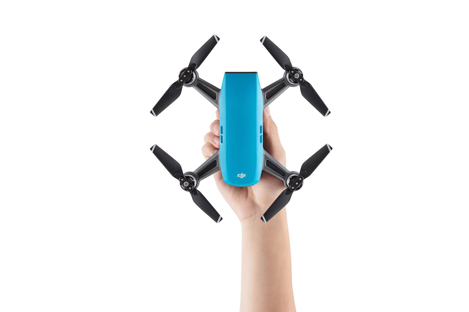
A DJI Spark drone image : DJI On the heels of the Gatwick Airport drone disruption, DJI has debuted an improved…
 |
| A DJI Spark drone
image : DJI
|
On the heels of the Gatwick Airport drone disruption, DJI has debuted an improved geofencing technology across Europe that’ll prevent its drones from flying too close to major airports in 32 European countries. This includes the 13 countries already covered by DJI’s first geo-fencing system (the use of RFID or GPS technology to place a virtual geographic boundary, enabling software to activate a response when a device enters or leaves a particular area) and 19 new countries that previously didn’t have this feature.
The new system – Geospatial Environment Online (GEO) 2.0 – operates by creating three-dimensional “bow tie” safety zones bordering runway flight paths, now using complex polygon shapes around sensitive facilities compared with just simple circles used in earlier versions. DJI has chosen Unmanned Traffic Management (UTM) software provider Altitude Angel as a partner to deliver geospatial data for airports, no fly zones and other sensitive areas in the European countries.
 |
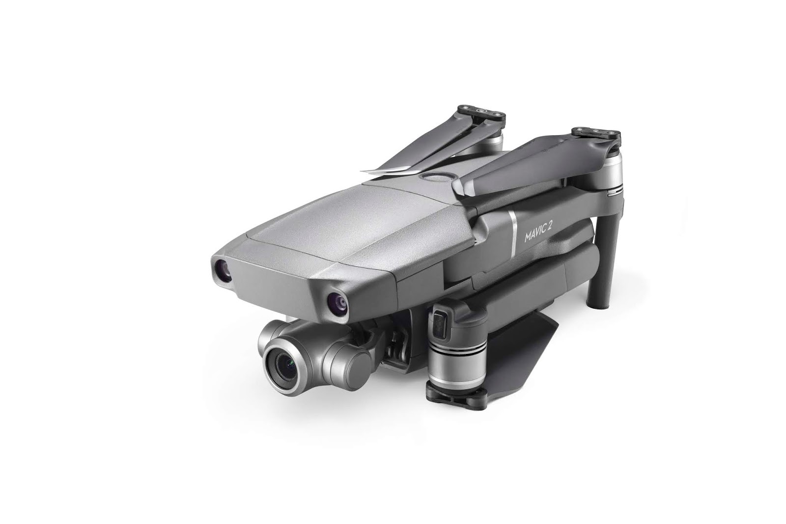
| The DJI Mavic 2 Zoom drone
image : DJI
|
The company is replacing previous partner AirMap, notable for working with other customers like Rakuten, Intel and the Kansas Department of Transportation. Altitude Angel notably worked with DJI last year on a full-scale test of unmanned traffic management in controlled airspace at the Manchester Airport in UK.
DJI’s new geo-fencing system will also include Temporary Flight Restrictions (TFRs) imposed during major events or natural disasters. This will be based on authoritative data from the the European Organisation for the Safety of Air Navigation, commonly known as Eurocontrol. The new system will go into effect later this month. DJI drone users who update their DJI GO 4 flight control app will get it implemented on their devices.


